District Maps
Official maps and boundaries of the International Management District
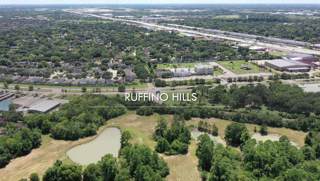
Boundaries
Know Where the District Begins and Ends
Clear boundaries matter. Whether you live here, run a business, or plan to invest, understanding the exact limits of the International Management District shapes what’s possible. These maps show you precisely where we operate and what services apply to your location.
- Residential zones and neighborhood areas
- Commercial corridors and business districts
- Development sites and future growth areas
Resources
Download District Maps
Access detailed PDF maps showing zones, development sites, and community assets.

Zone Boundaries of IMD
Official geographic limits and jurisdictional boundaries for reference.

Schools in the IMD
Current initiatives and future construction locations across the district.

Apartments in the IMD
Strategic locations and investment opportunities throughout the district.

Industrial Zone
Complete zoning classifications and land use designations for the entire district.


