Plans & Studies
Strategic blueprints guide the International Management District forward.
Service Plan
Master Plan That Guides Our Community
A well-planned, high-quality place to live, work, learn, play, and invest. In creating a management district, property owners seek to:
Organize themselves to pursue a common vision.
Attract necessary government and private capital investment, services, and improvements—and supplement them where needed.
Render continuous, focused, professional management of the area’s needs.
Provide a funding mechanism that allows all property owners to share costs equitably.
Maintain the District and surrounding areas as a premier place to work, live, and invest.
Programs
Strategic Priorities Driving District Growth
Each focus area runs its own programs and partnerships across the District.
Mobility & Beautification
Street redesigns, landscaping, and transit improvements that connect neighborhoods and enhance walkability.
Public Safety
Enhanced lighting, patrols, and community policing that keep residents and businesses secure.
Environmental & Urban Design
Green space, streetscapes, and thoughtful urban design that make the District healthier and more beautiful.
Business & Economic Development
Grants, resources, and investment that help local businesses and the District grow.
Impact
A Track Record of Strategic Planning
Since 2007, the International Management District has a Service Plan organized around four focus areas—with audited fiscal reports published every year since 2008.
Years of strategic planning
Residents
2010 Census
Focus areas in the Service Plan
Audited fiscal years
Mobility & Beautification
Environmental Master Plan
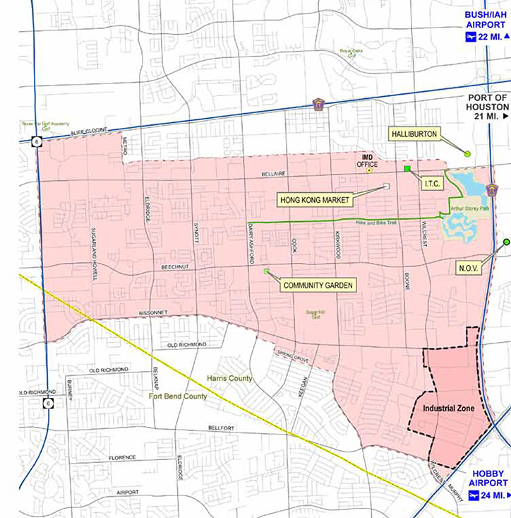
The District’s environmental design master plan guides how we enhance the visual appeal of our international community—raising property values, attracting investment, and making the District a more attractive place to live, work, shop, and invest. It maps opportunities to strengthen the District’s identity and connectivity across its major corridors.
Study Area
The plan focuses on the District’s primary corridors:
What the Plan Covers
A Blueprint for a More Connected District
Six study objectives shape how the District invests in mobility, design, and beautification.
Systems Inventory
Competitive Position
Design Vision & Tactical Plan
Wayfinding & Signage
Transit Connections

Parks & Open Spaces
Documents
Plans & Reports
Download the underlying mobility and environmental planning documents.
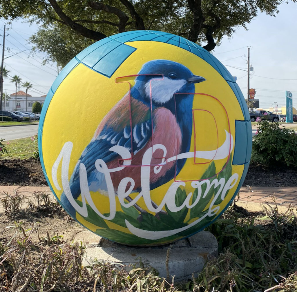
Public Art
Mini-Murals in the District
Beautification in action—community mini-murals add color and identity along District corridors.


Downloads
Reports and Studies
Service Plan, Capital Projects strategy, economic studies, and other District planning documents.
Ready to Make an Impact?
Have questions about permits, grants, or resources for your business? Our team is ready to listen and help you navigate what’s next. Reach out anytime—we’re here to support your vision for the International District.